The overall leg length of the ‘French portion’ of my trip is a little over 500 miles. It has to be broken into a minimum of two sectors (unless I have a ferocious tail wind on my day of departure). Originally I had split the trip into a 200 mile (approx) leg from Jersey to Chateroux-Deols and a 300 mile leg (approx) from Chateroux-Deols to Cannes. I was going to set off from Jersey at 0630 UTC and do the whole Jersey-Cannes trips in one day. That was plan 1.
However, Plan 1 changed to Plan 2: leave Jersey the day before at 1200 UTC and fly the Jersey – Chateroux leg and stay there overnight. Leave Chateroux the next morning and continue to Cannes. This change of plan accomplished two things: first I wouldn’t be flying over the high terrain (mountains) in the evening/night; and secondly it would give me time to clear customs and ‘take it easy’ while still getting into Cannes and having a real good full day of enjoying the sights.
Plan 2 has just changed into Plan 3 and almost by chance. I am just waiting for my BP Sterling Fuel Card to arrive which is going to make refueling at airports so much easier. I thought I’d have a quick search of airports over my routes that had BP fueling stations: almost every one! Cannes, Bastia, Dubrovnik, Zagreb …brilliant. But, not Chateroux. However, I noticed that the airport Clermont Ferrand (with BP) was on my route but included on my second leg (Chateroux – Cannes). While my route is not going to be dictated by BP fueling stations it all started to make sense: Instead of doing a 200 mile leg followed by a 300 mile leg, I’d do a 300 mile leg (to Clermont Ferrand) and then a 200 mile leg from there to Cannes. Furthermore: Clermont Ferrand has much better operating times. It meant I could arrive later (if I wanted) and leave earlier the next morning. Moreover, when leaving the next morning I would be even closer to Cannes and therefore could really get a good day enjoying the place.
So, I think it’s final now. Below is the SkyDemon plot of my leg from Jersey to Clermont-Ferrand:
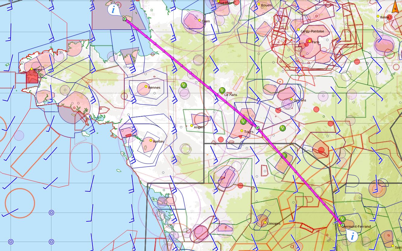
The route heads South-East on magnetic heading 137°/140°. According to SkyDemon, it is exactly 300 miles. It crosses the French coast overhead Granville (LFRF). I’ve been to Granville many times before. As well as flying I do a lot of skydiving and Granville has a great dropzone. I have many happy memories of jumping there with the sandy beach below. After Granville my track takes me overhead Le Mans-Arnage (LFRM) and just NE of Tours-Val de Loire (LFOT) as I head for the Amboise VOR (AMD). From there I more or less fly over Chateroux-Deols (my original refueling stop) then in between Montlucon-Domerat and Montlucon-Gueret airfields (to the NE and SW respectively) before touching down at Clermont-Ferrand.
If you are interested in flying into Clermont, you may like to visit its website which can be found here: Clermont-Ferrand Airport (English). French airport websites are getting better and better. Clermont’s has information about local hotels (Novotel, B&B, Formula 1, Ibis etc) as well as giving good information about buses/trams into the centre of town and a list of taxis with telephone numbers and approximate fares.
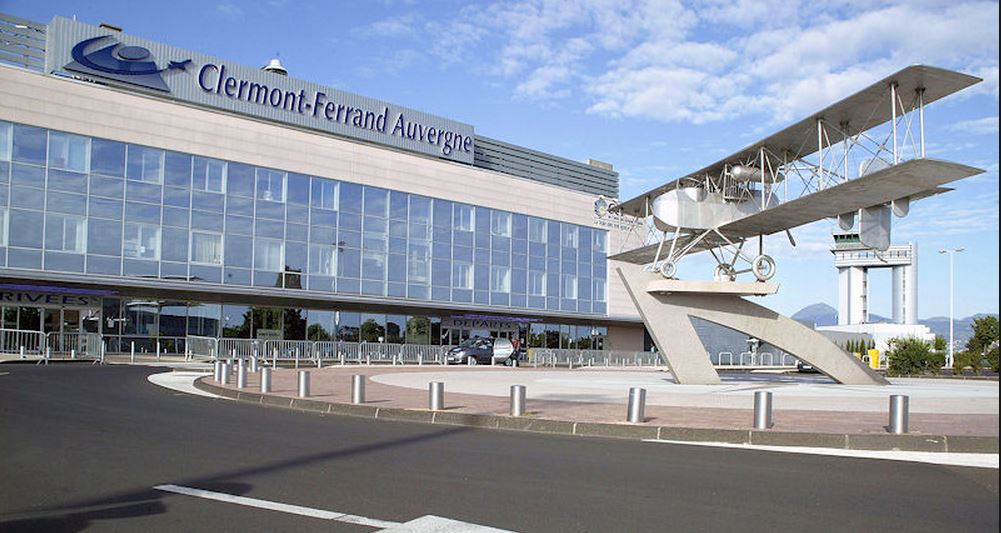
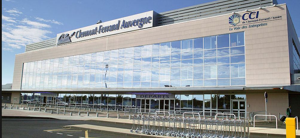
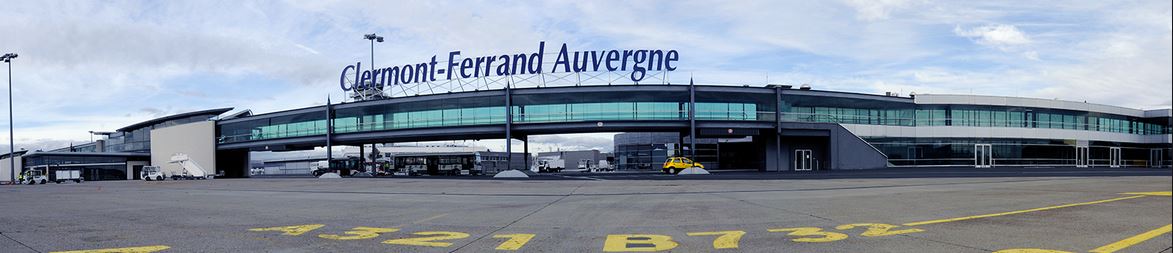
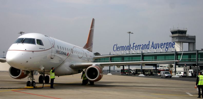
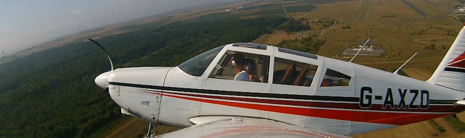
Some pictures found on the web: